

Drone Imagery & Videography
Show an entirely different perspective of your business, event, or property!
What Is It?
Modern projects demand better perspective, faster data, and clearer visuals. Professional drone services provide a safe, efficient way to capture aerial imagery, inspections, and mapping data that would otherwise require expensive equipment, extended timelines, or difficult site access.
As an FAA Part 107 licensed drone pilot, I operate legally and professionally under federal aviation regulations, ensuring every flight is conducted safely, responsibly, and with proper planning. Clients gain peace of mind knowing their project is handled by a certified operator who understands airspace rules, risk management, and professional flight standards.
Using advanced drone technology, aerial data can be captured quickly while minimizing disruption to operations on the ground. Whether documenting progress, showcasing property, inspecting structures, or creating visual assets for marketing, drone imagery delivers accurate information and compelling visuals from perspectives that traditional methods simply cannot provide.

Where can I use a drone?
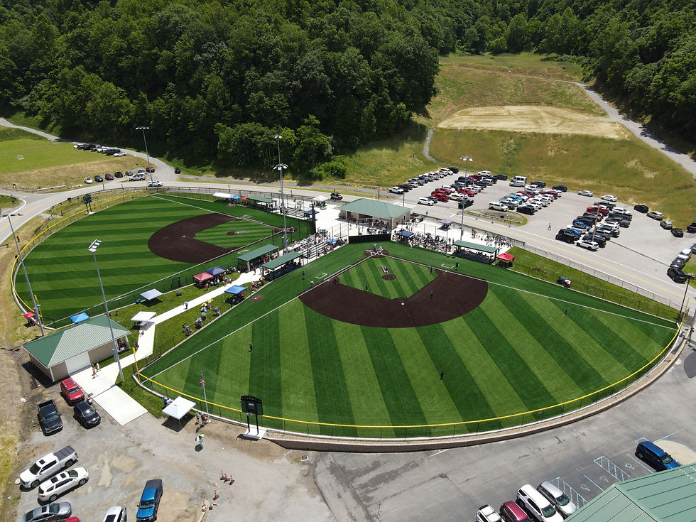
EVENT PROMOTION
Where can I use a drone?
INSURANCE RECORDS

Where can I use a drone?
EVENT PLANNING
Why Do You Need a Drone Pilot?
-
Safer data collection — reduces the need for ladders, lifts, or risky manual inspections
-
Cost efficiency — faster capture times compared to traditional aerial or surveying methods
-
High-resolution imagery & video — detailed visuals for analysis, documentation, or promotion
-
Improved project visibility — see sites, terrain, and structures from a complete aerial perspective
-
Rapid turnaround — capture and deliver results quickly to keep projects moving
-
Legally compliant operations — FAA-certified pilot operating within regulated airspace requirements
